The
Green Rover 's
scrap book of pictures taken along the way
Back to page 30 You
are on Page 31 To page 32
2017 Canyonlands White Rim Trail:
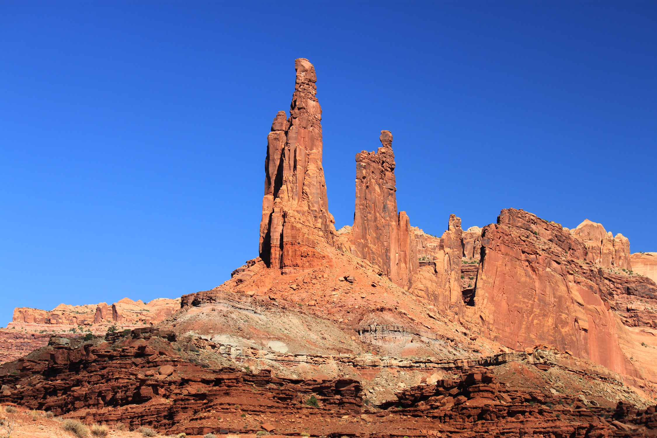
Most of the trail is a narrow one lane wide carved onto the side of a cliff and the trail can take a sharp turn just beyond the top of a rise.
Most traffic goes from Potash to the boat ramp. It can be done in 2 days with a single night camp. I took an afternoon, a day and a morning
with two nights camping. There is no water along the trail and outhouses only at the undeveloped camp areas.
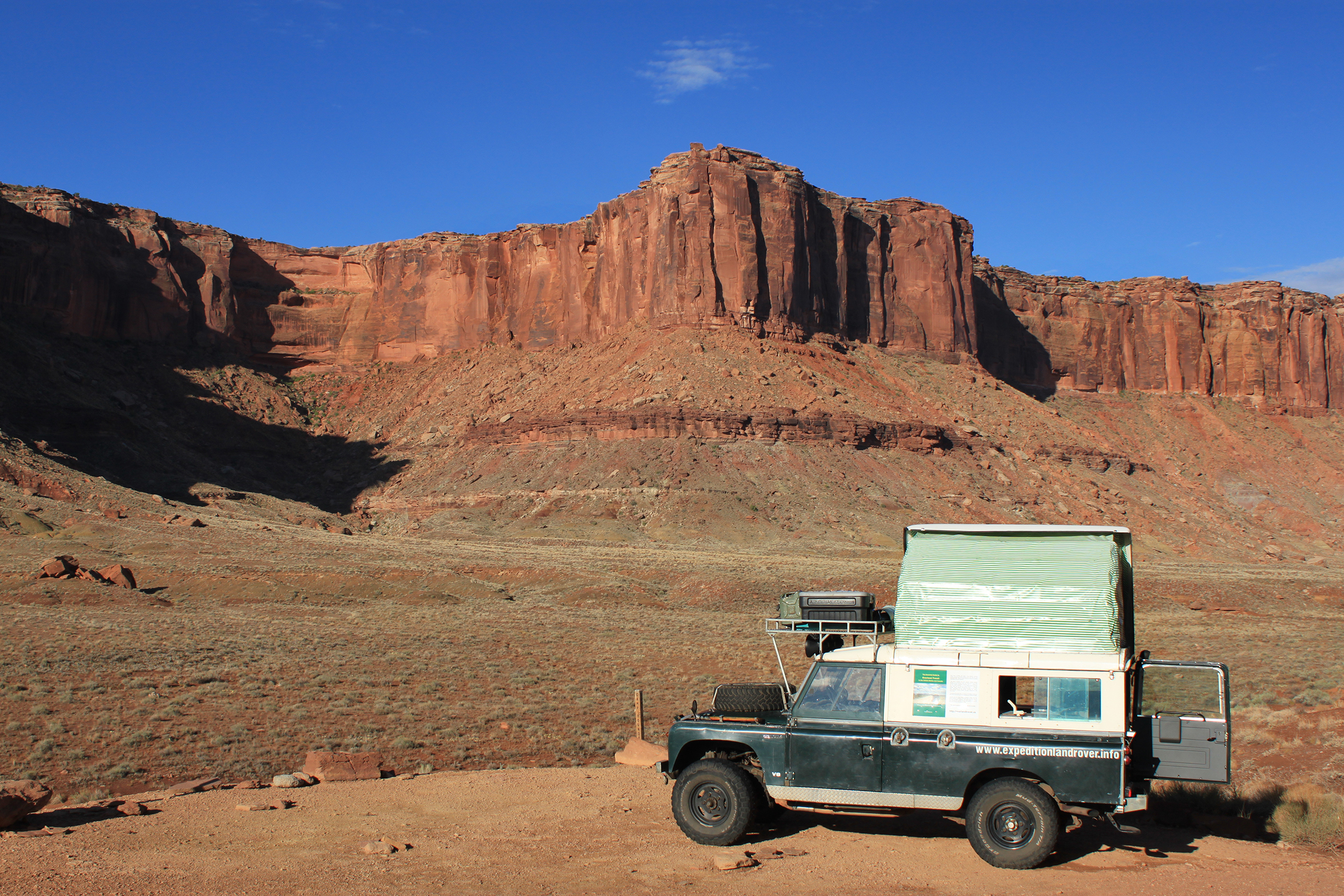
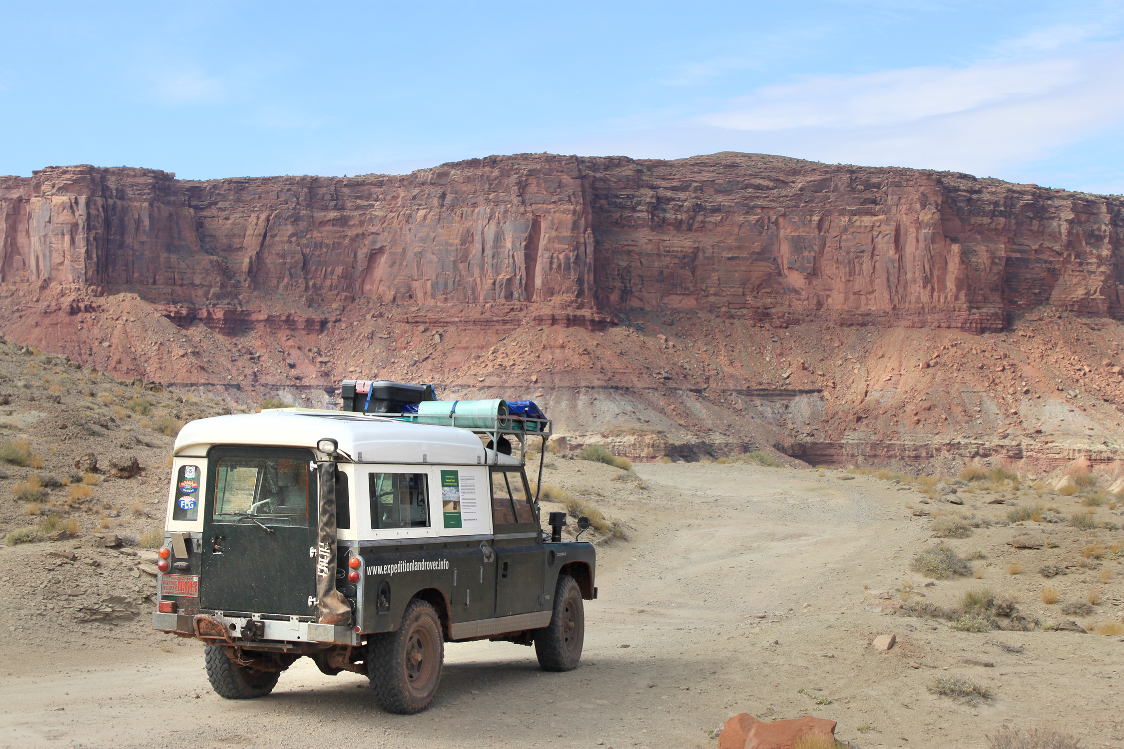
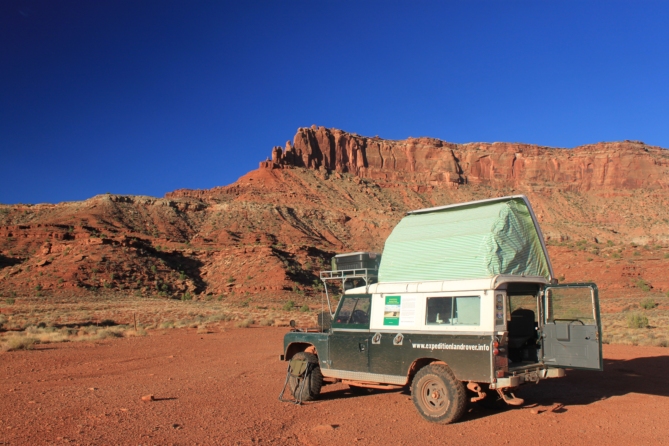
Camped on the White Rim trail
My mechanical brake was not working so I only took pictures at flat areas.
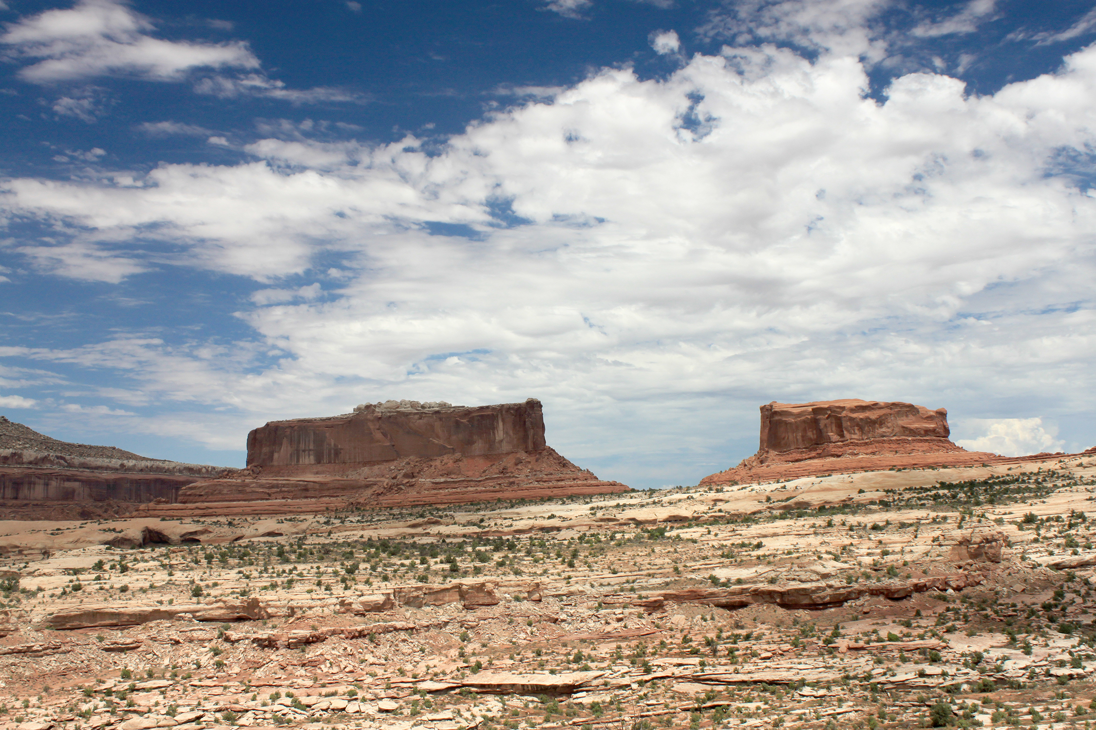
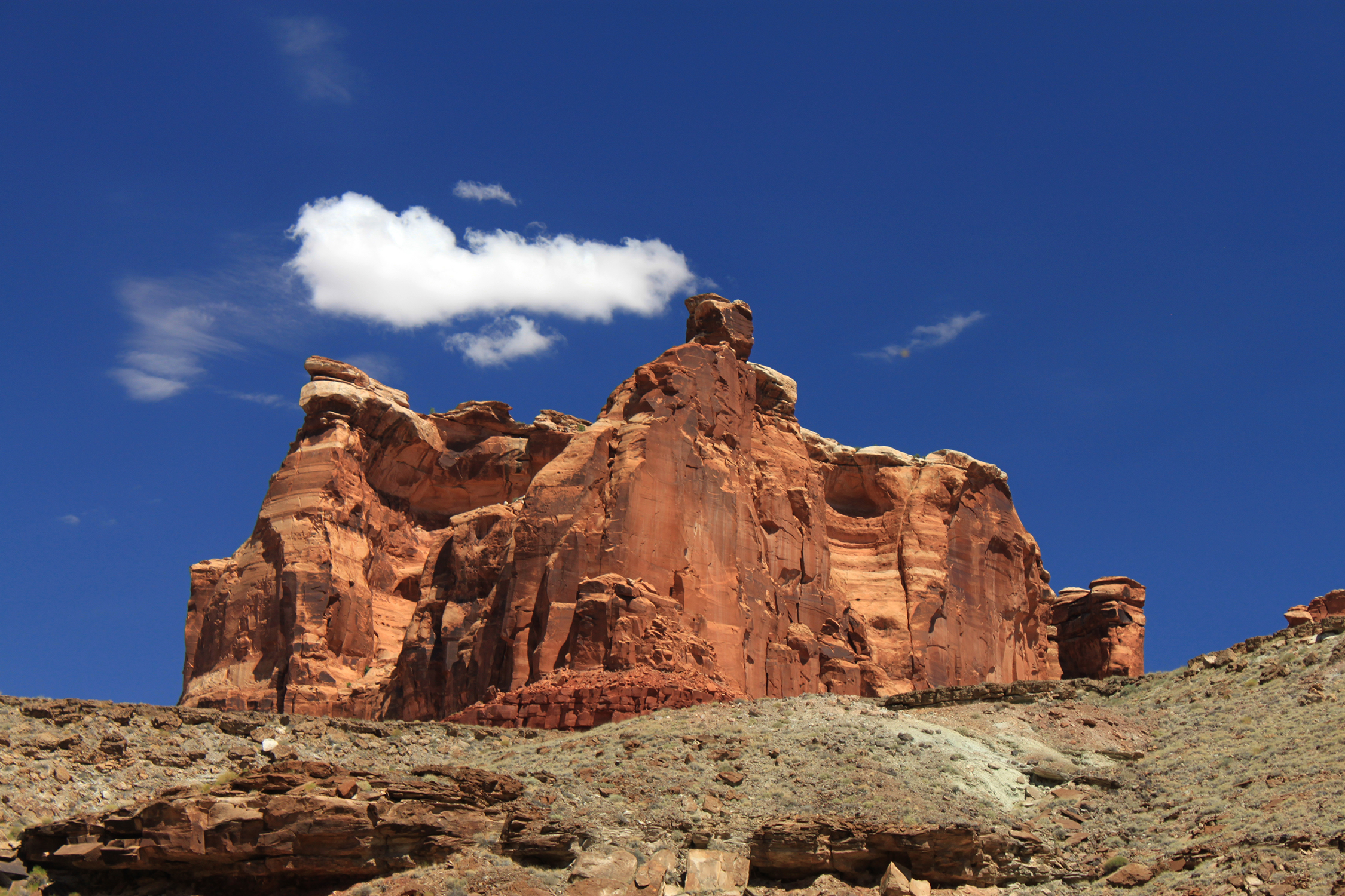
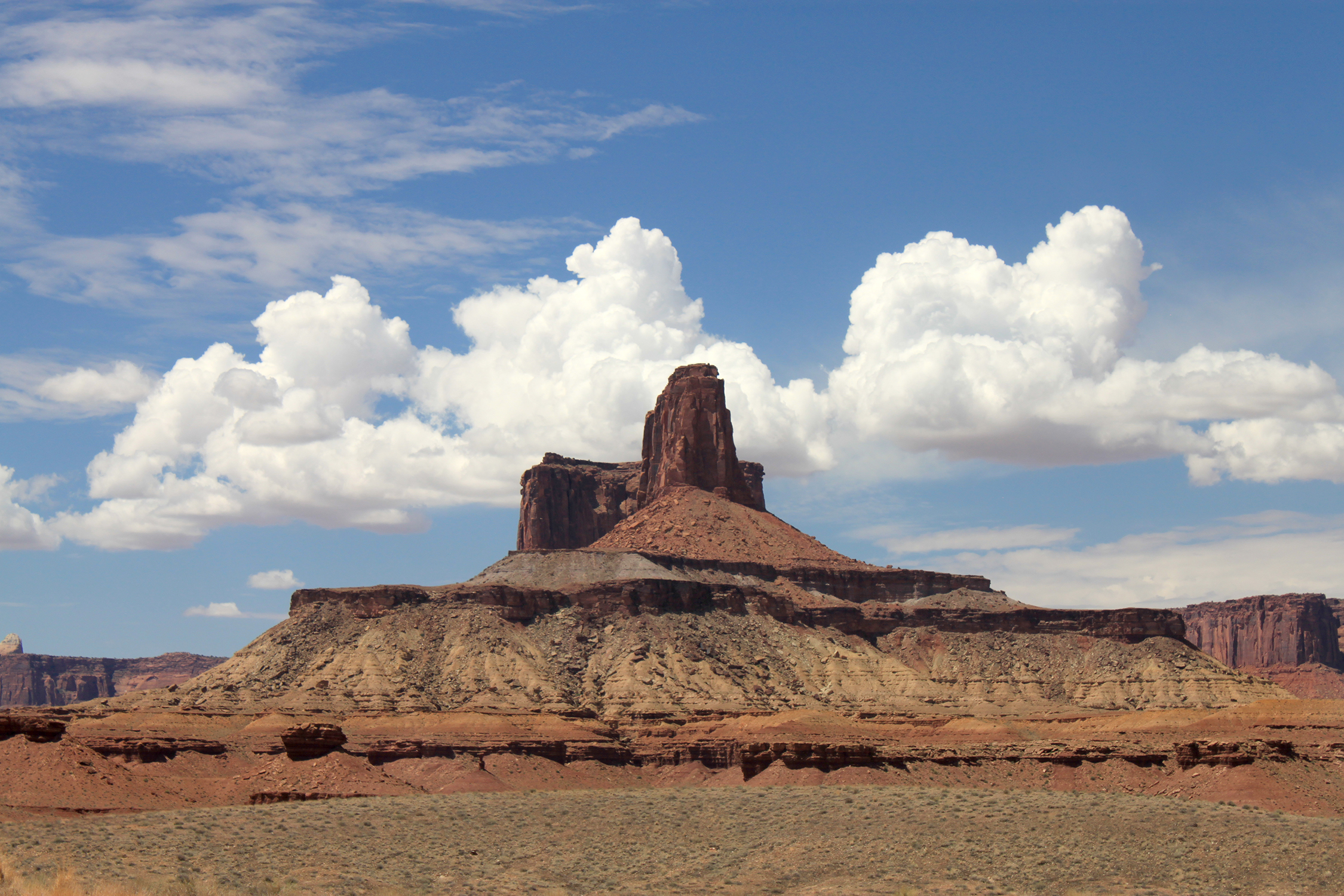
Montior and Merrimac buttes seen from near the entrence of Canyonlands National Monument. There is a trail that
goes along the base of the buttes that I took a few years earlier. But that close you do not get to see all of both of them
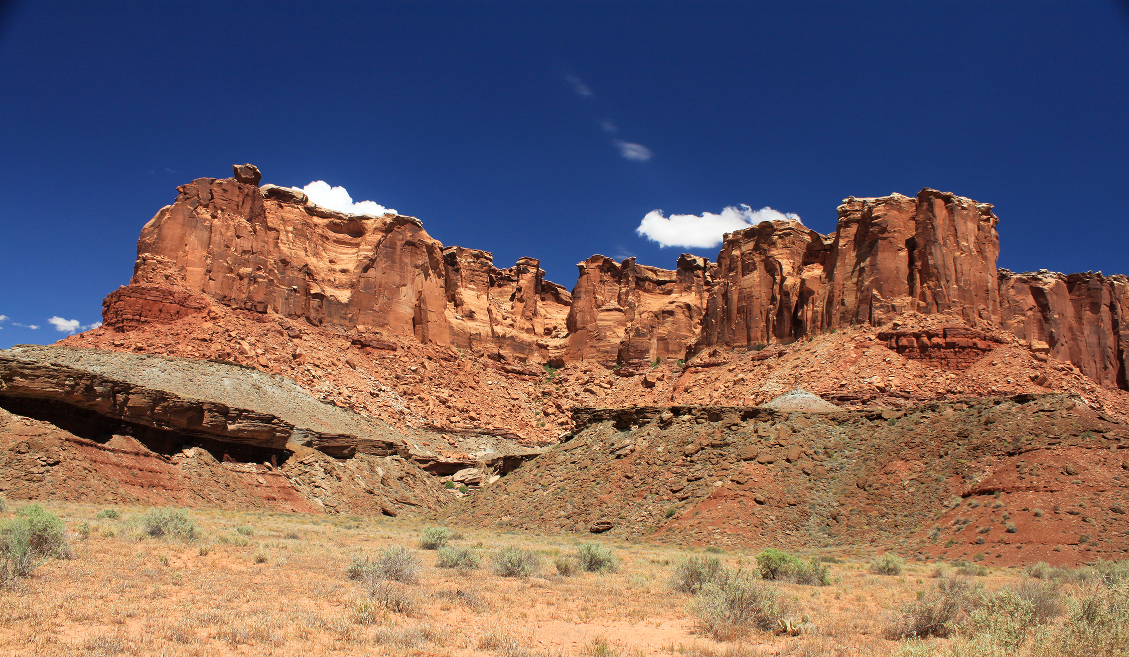
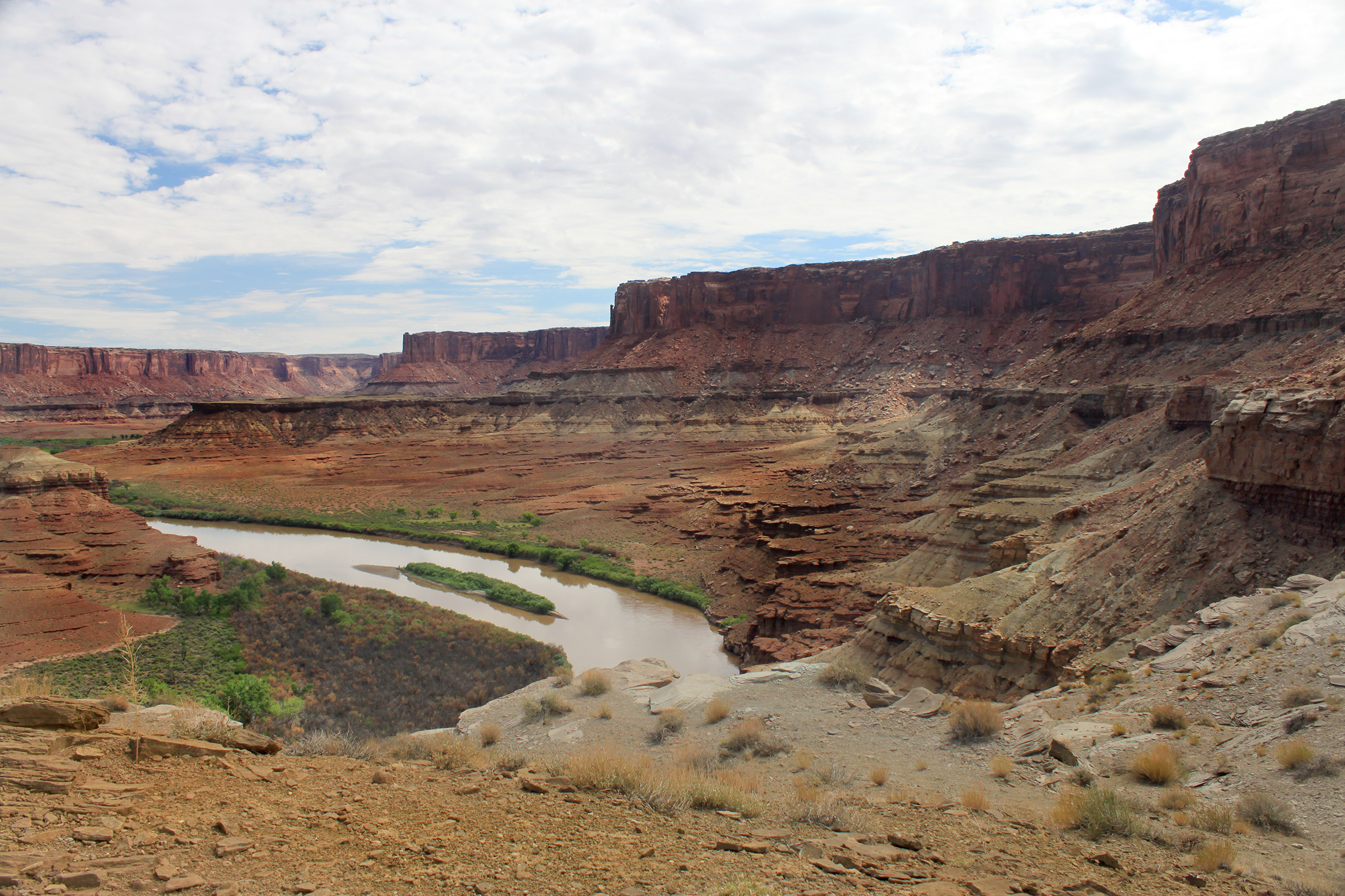
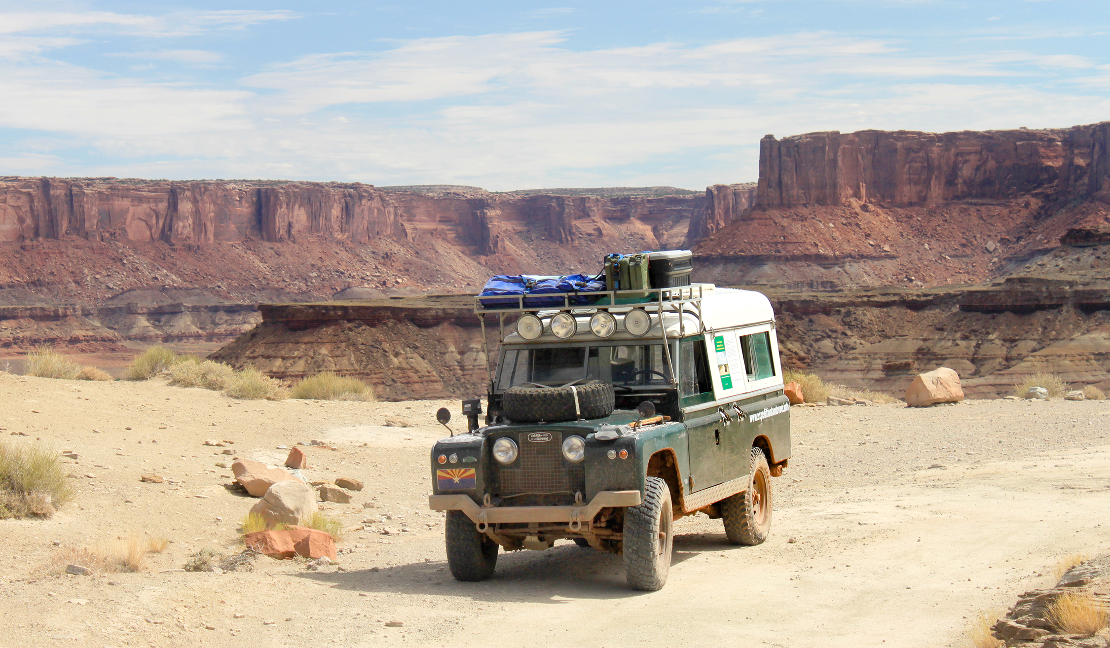
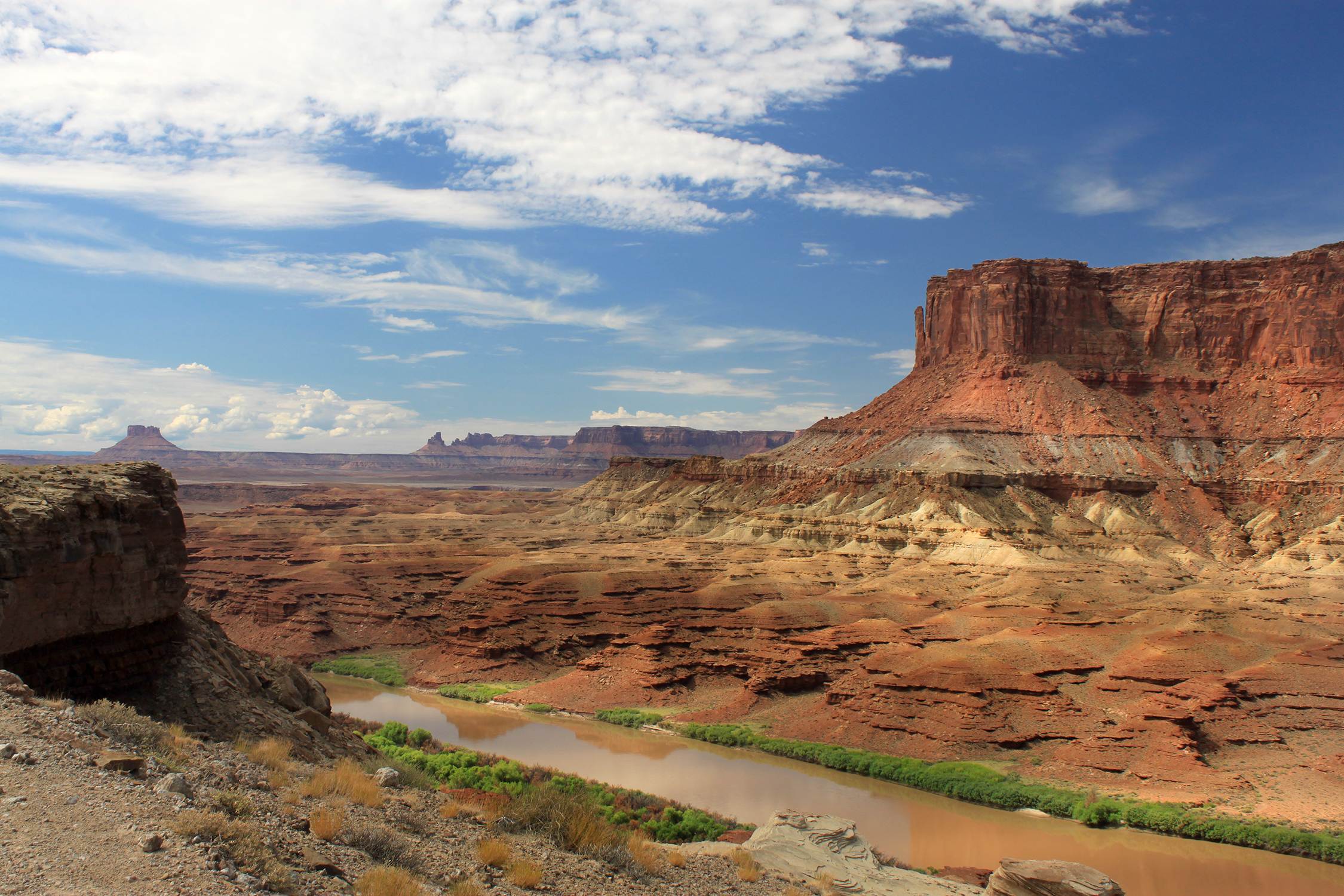
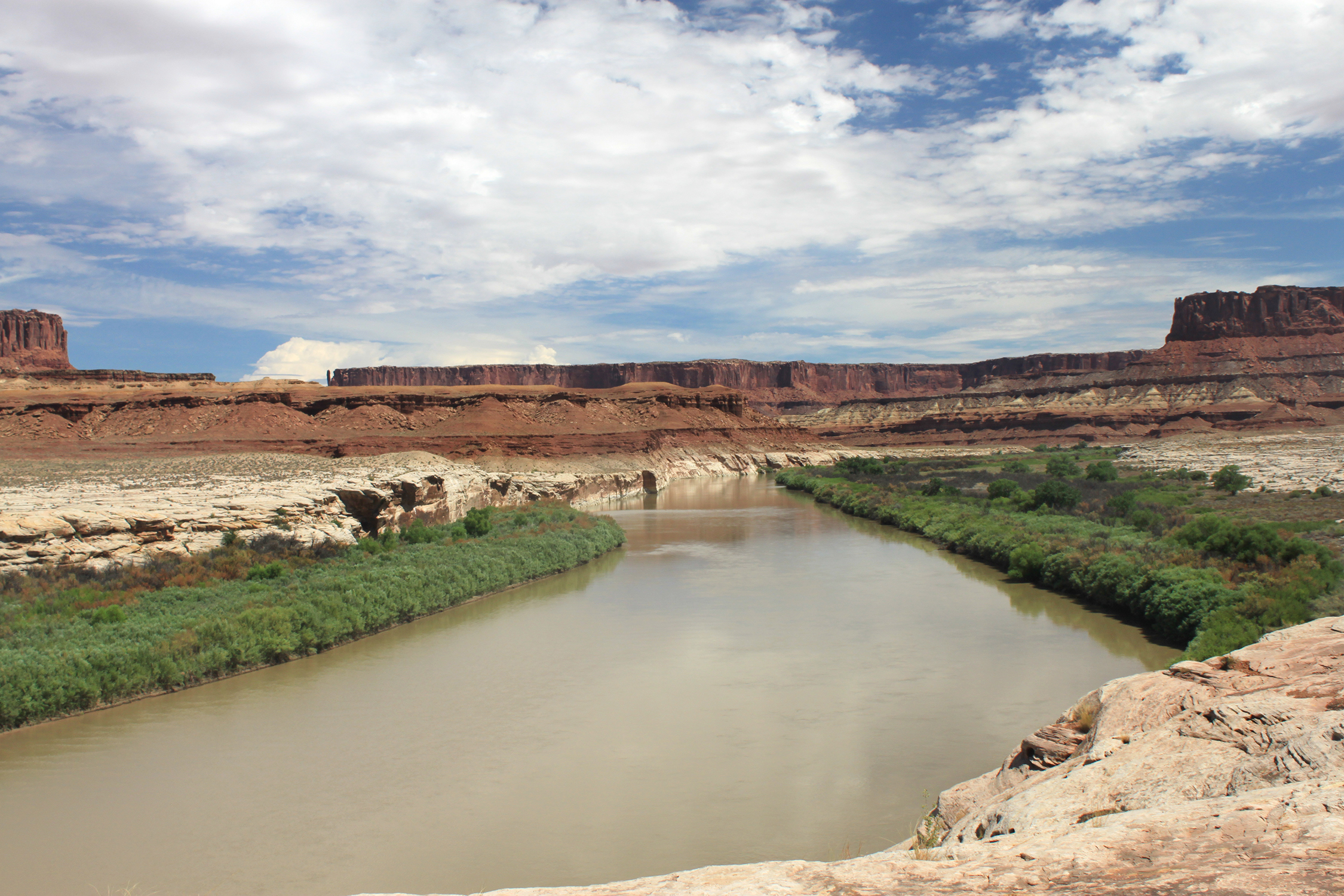
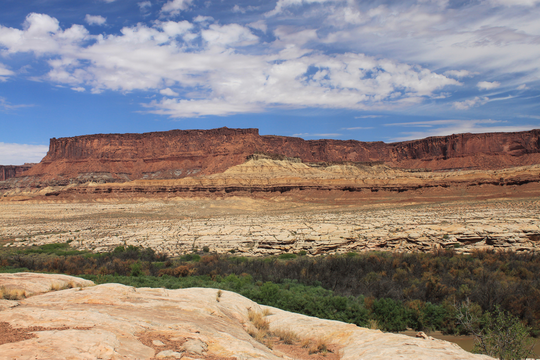
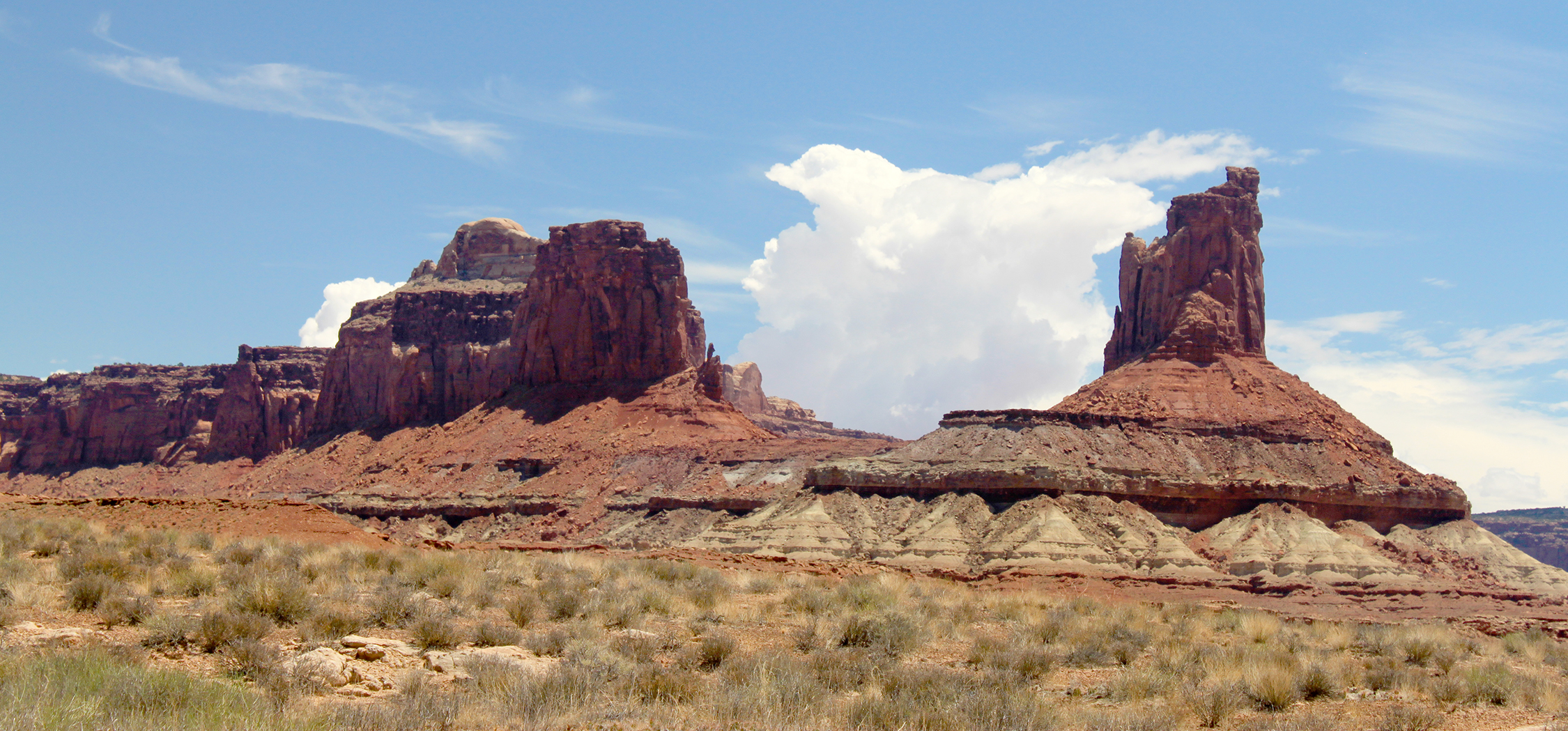
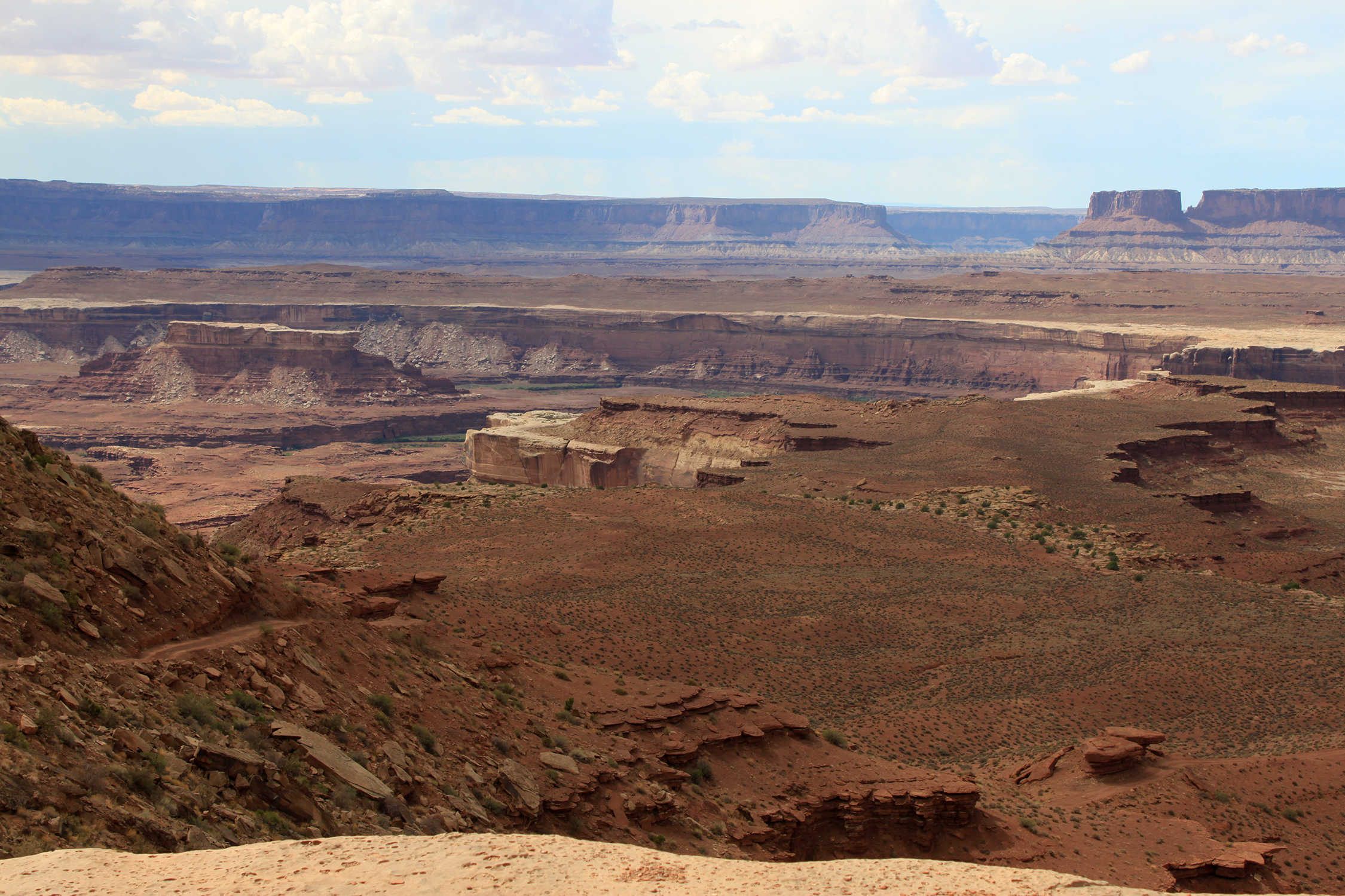
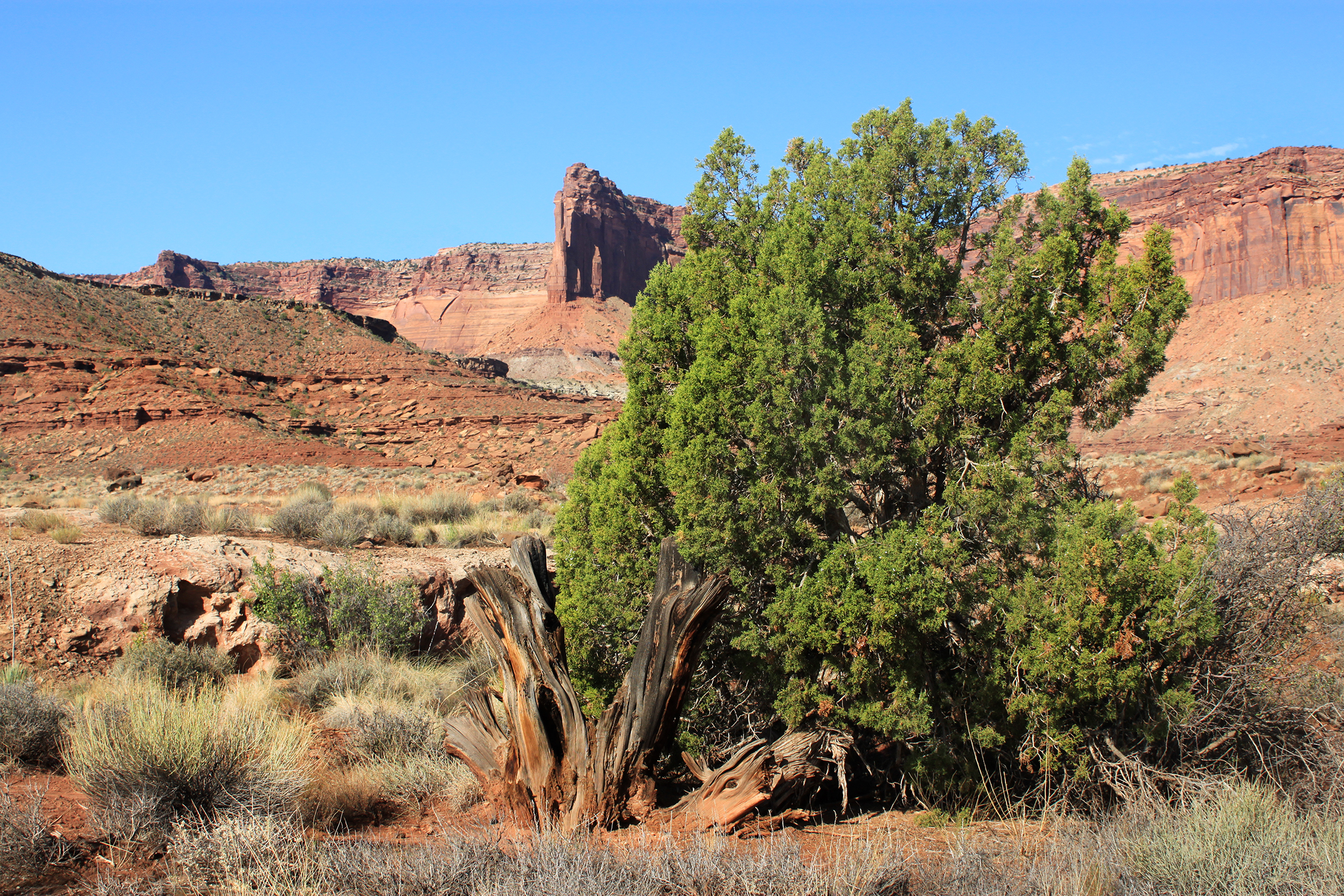
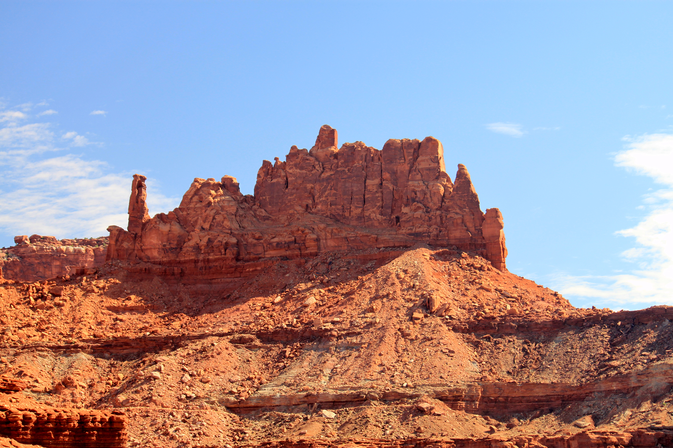
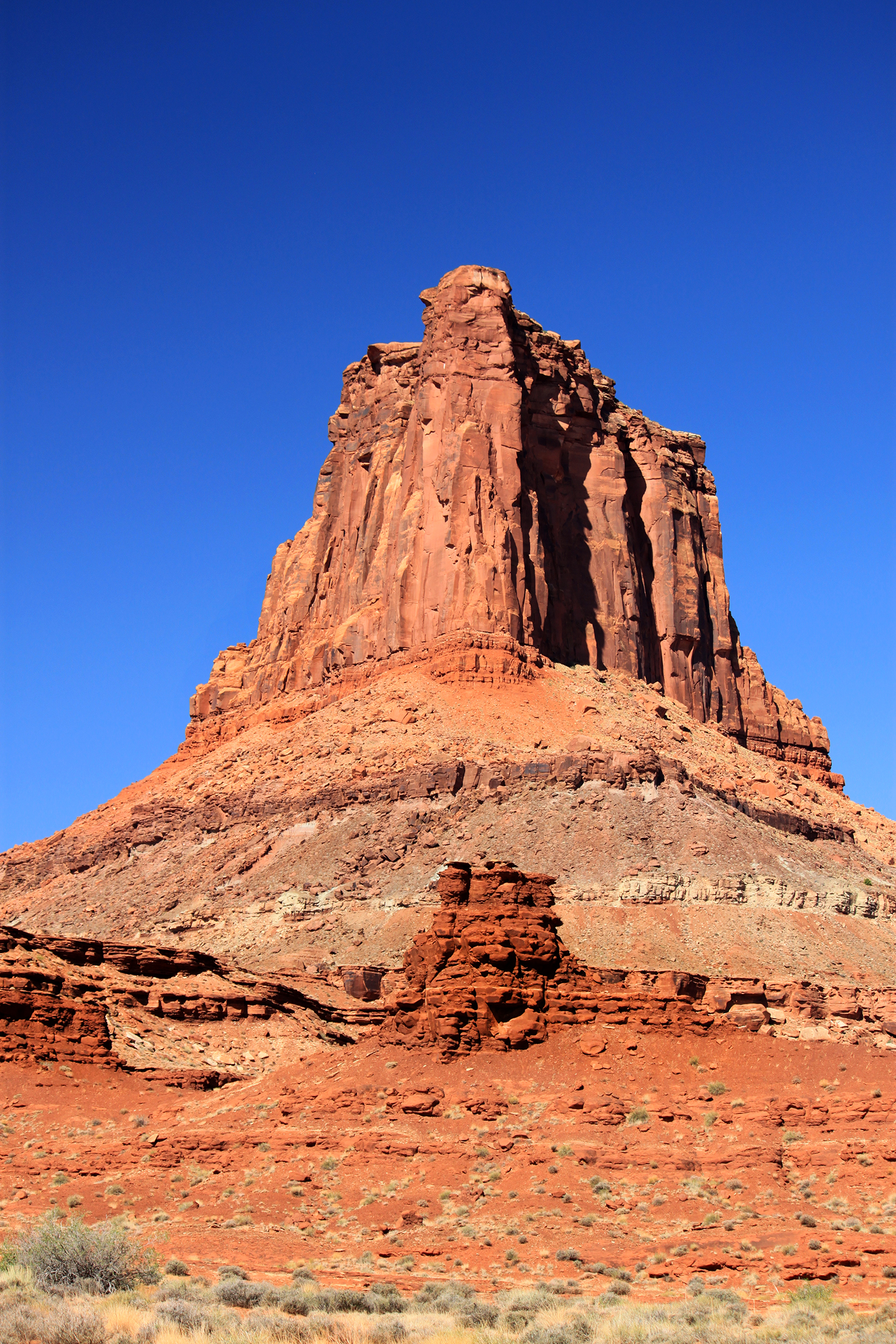
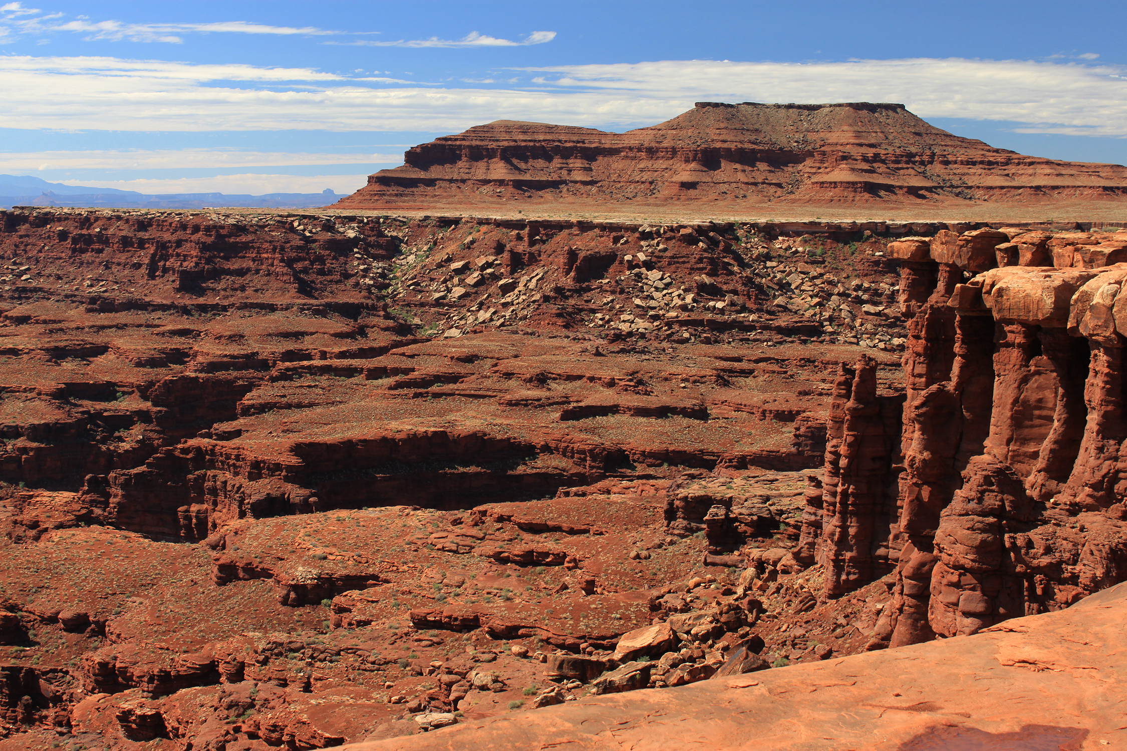
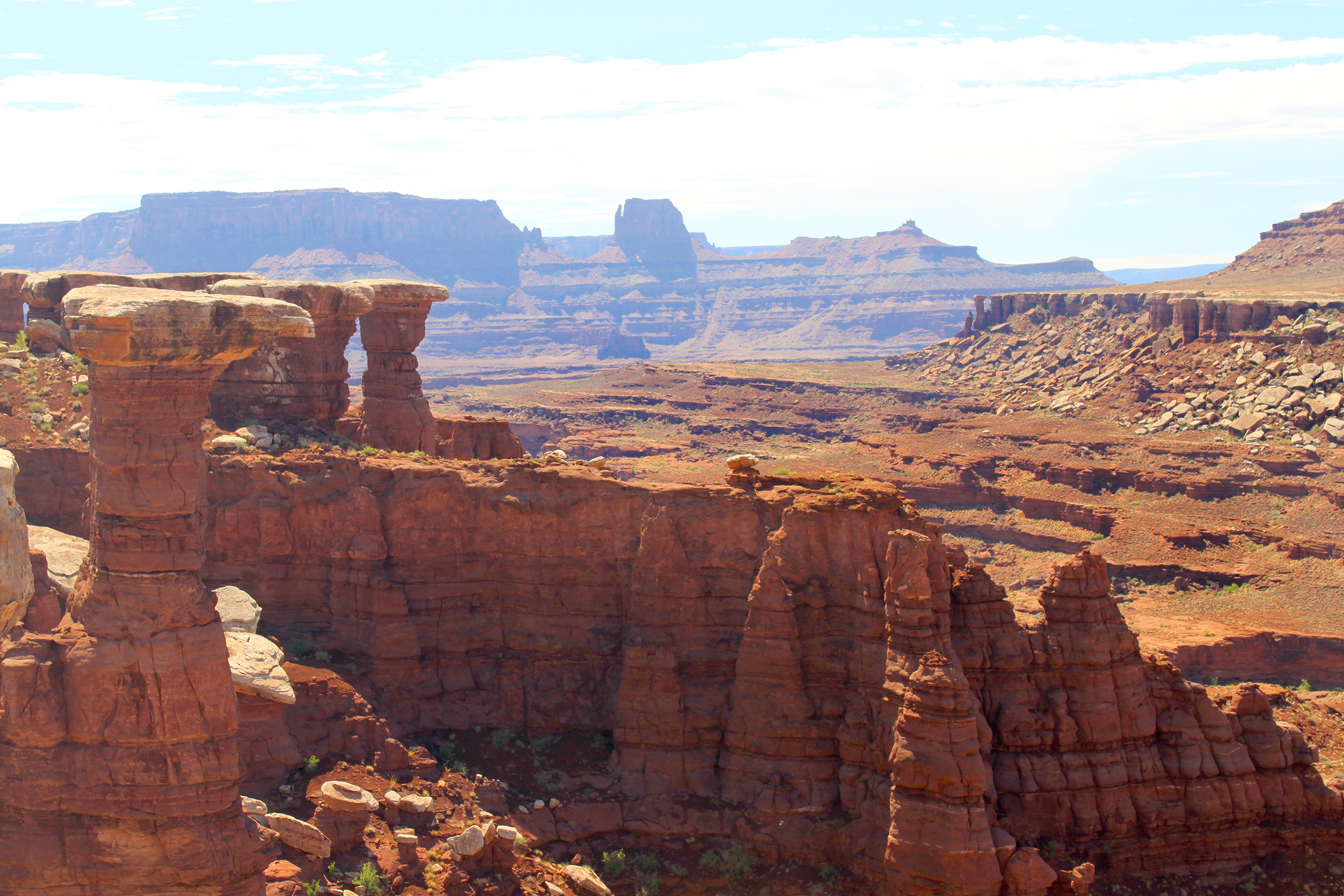
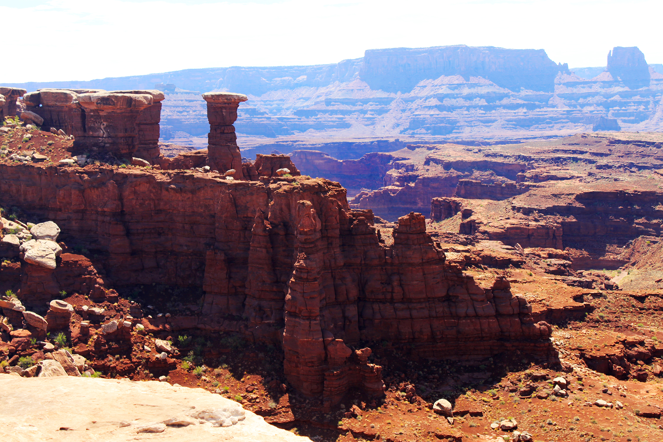
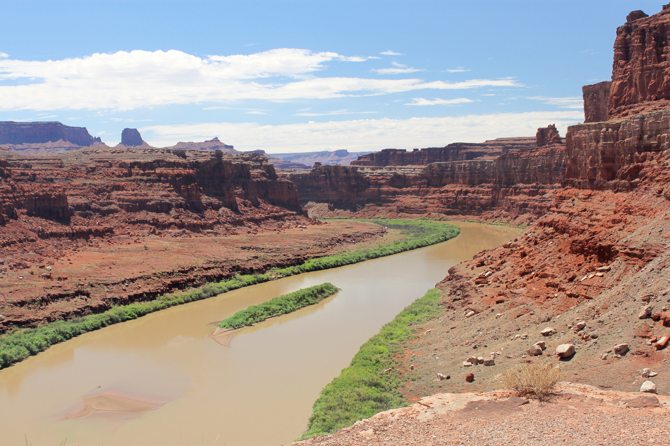
The trail is along a ridge part way down the canyon side. The canyon is wide enough that most of the time the
river is out of view
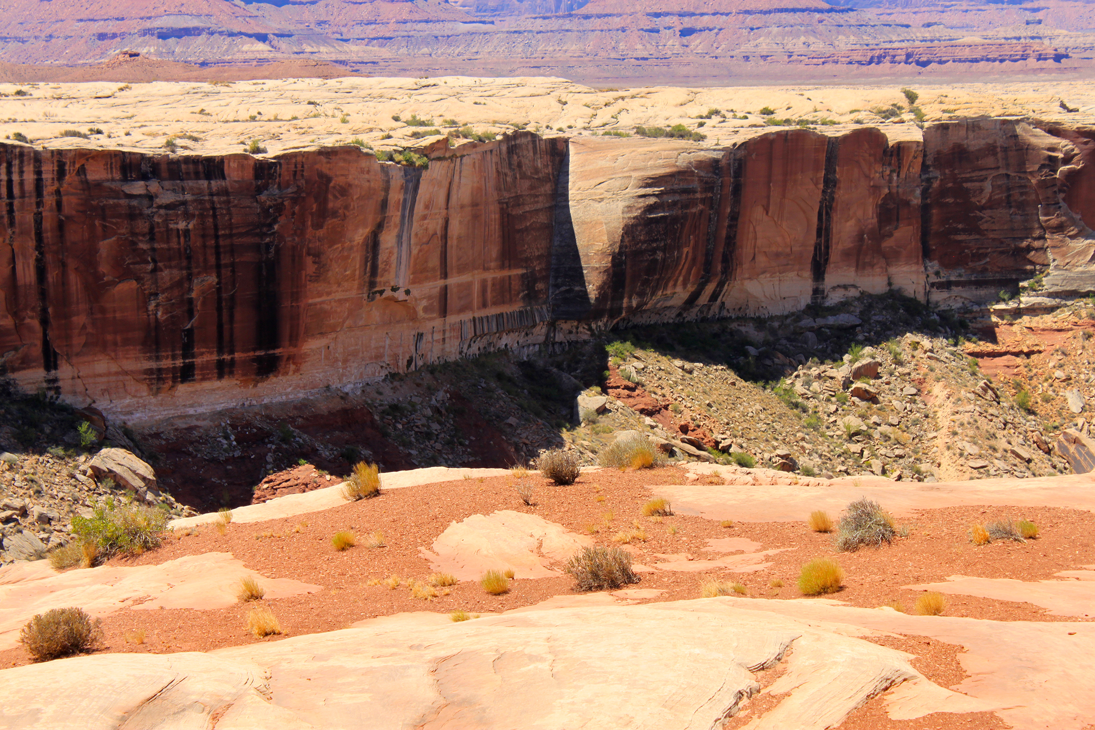
The trail is wide and mostly level for about the first quarter of the way from Potash before it narrows down going
into the cliffs.
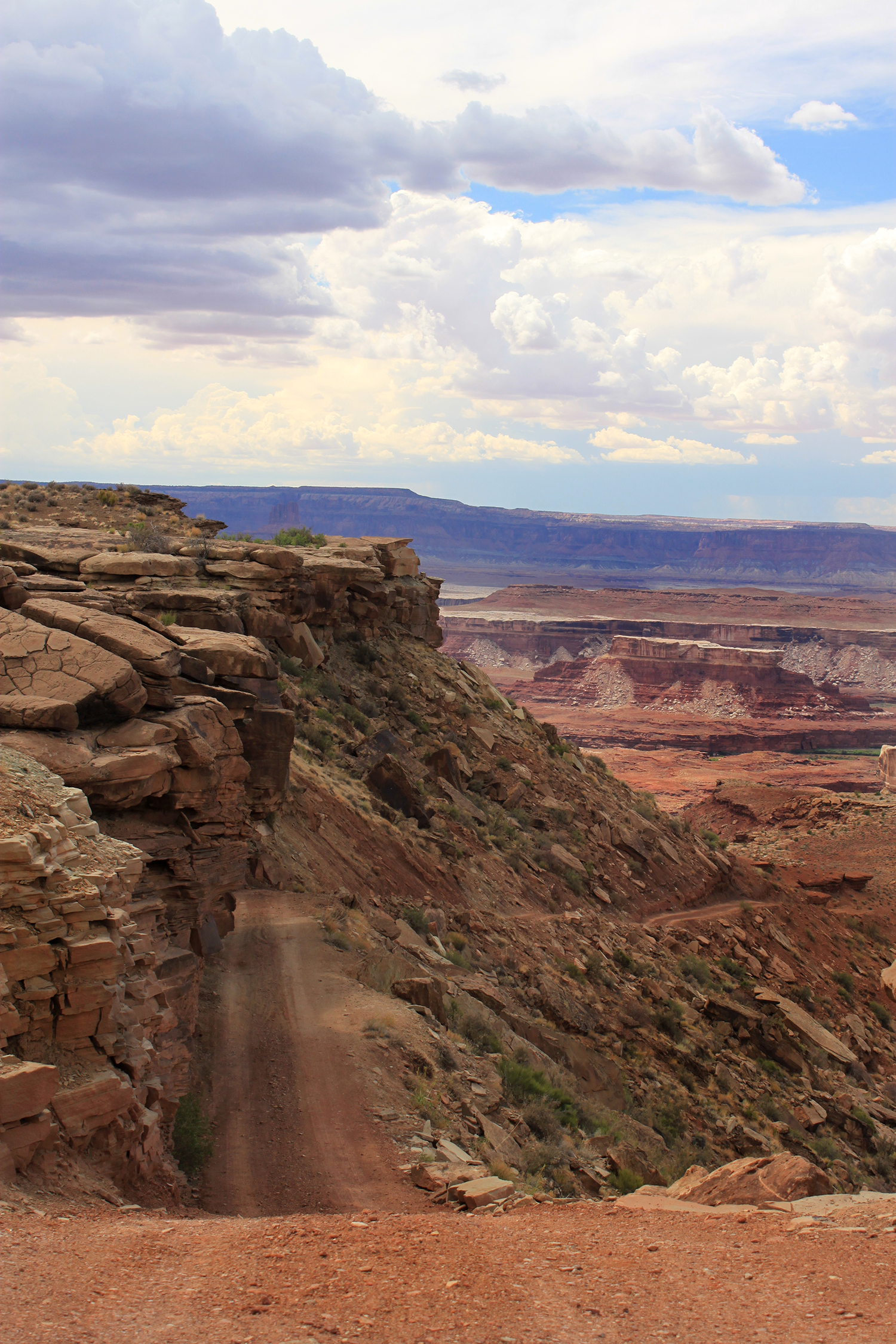
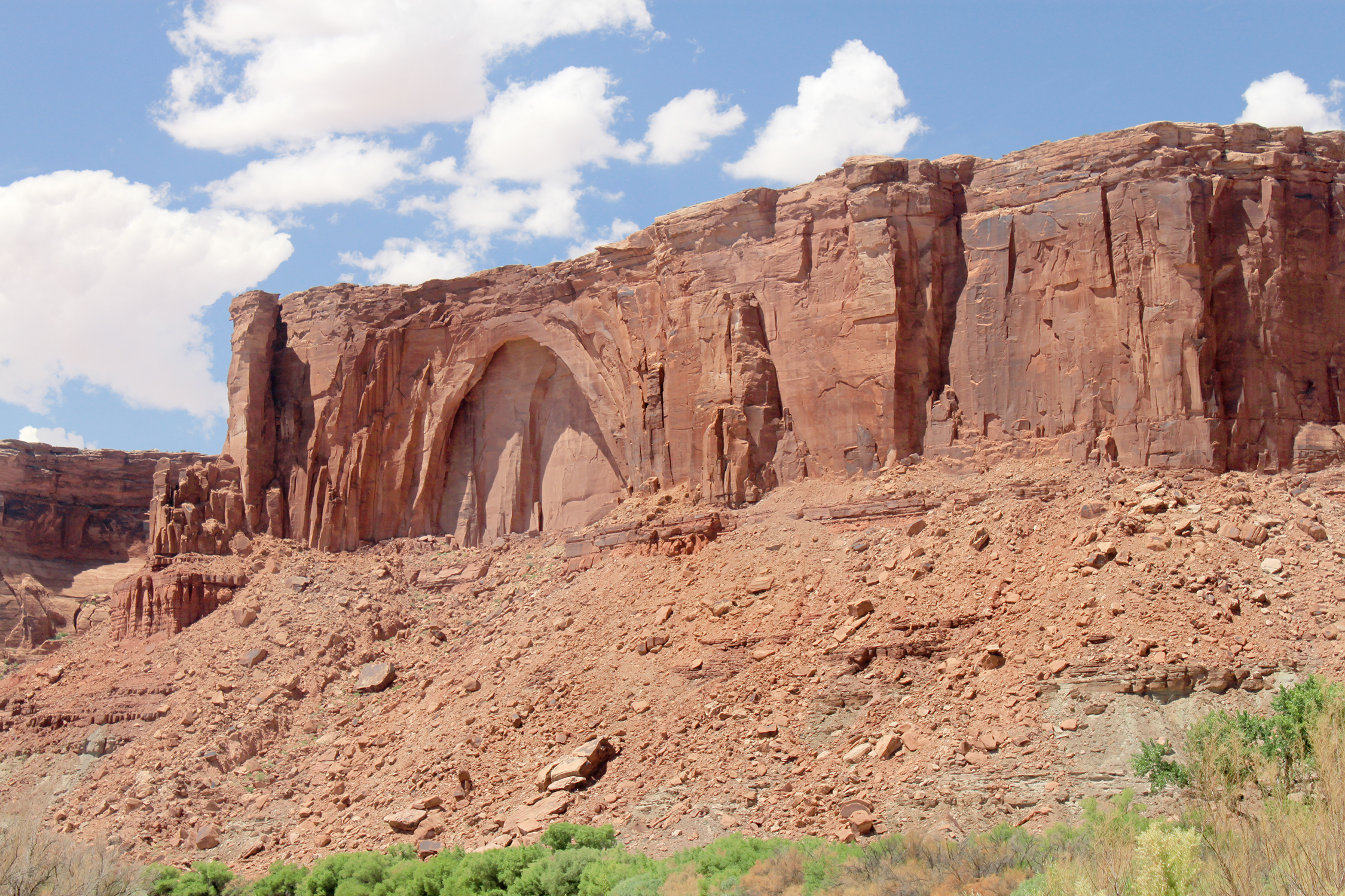
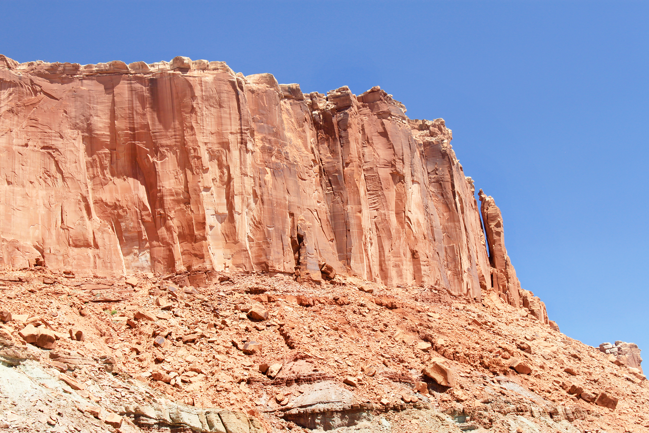
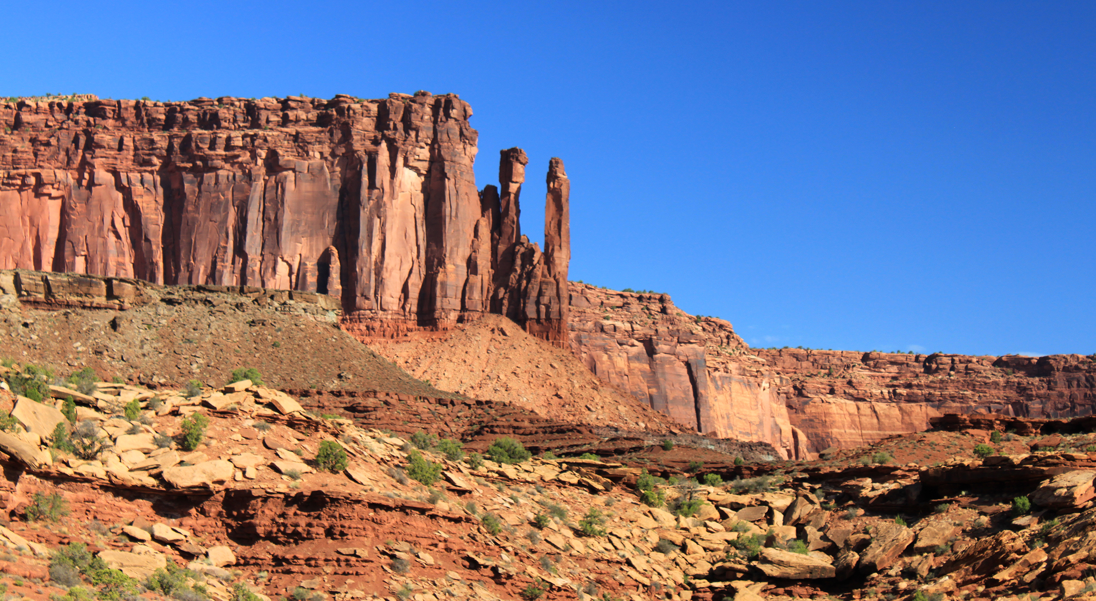
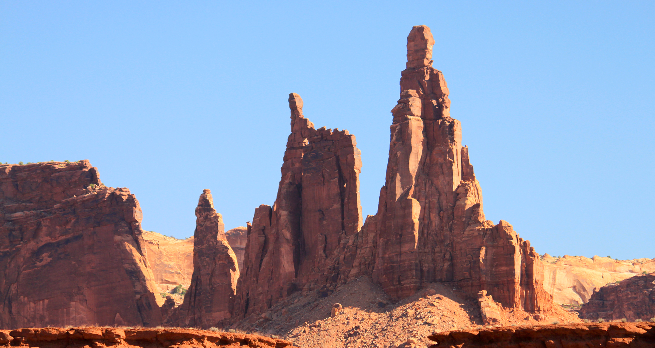
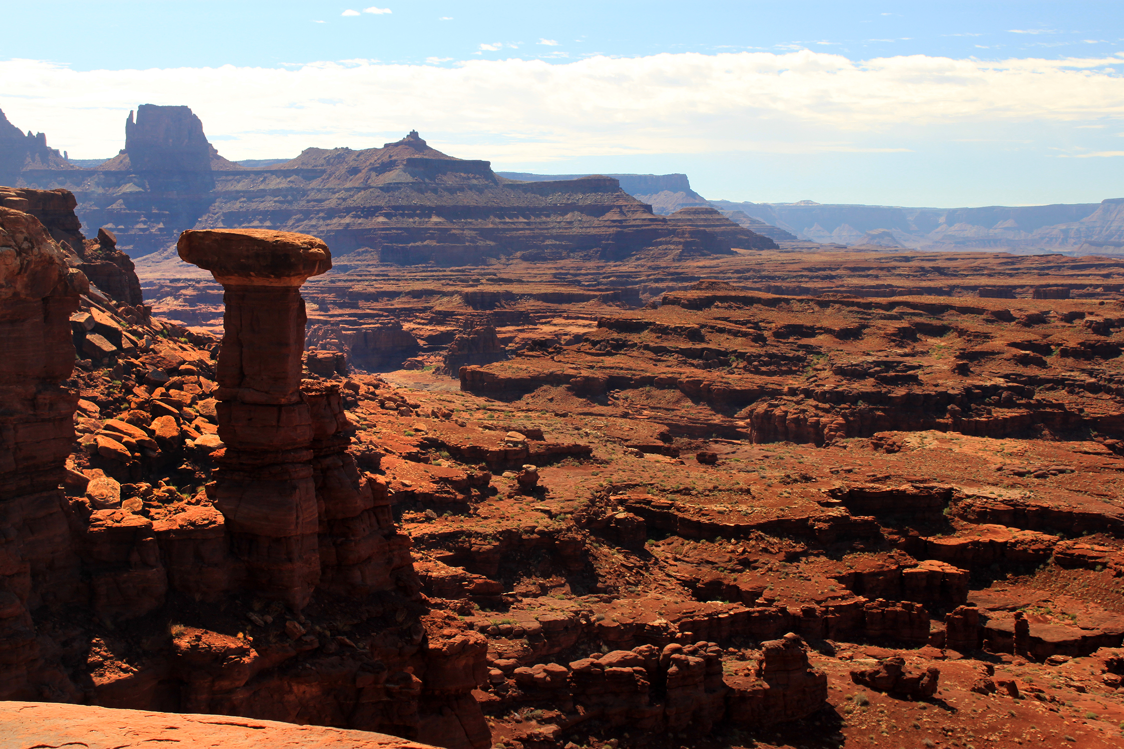
This gives you an idea of how narrow most of the trail is. Often the sides are a lot steeper
Second night camp site. All a camp area is just a level cleared patch of land.
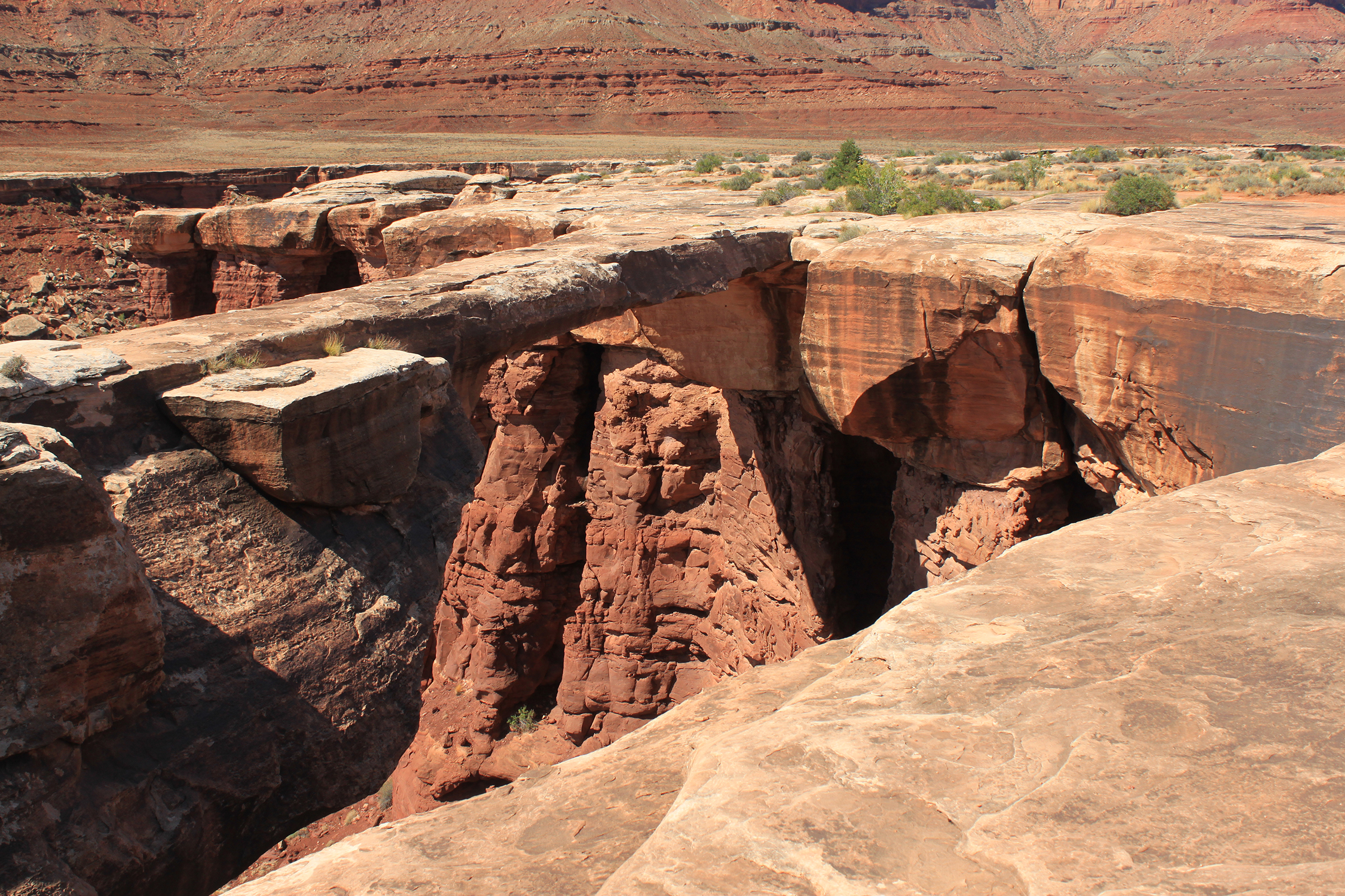
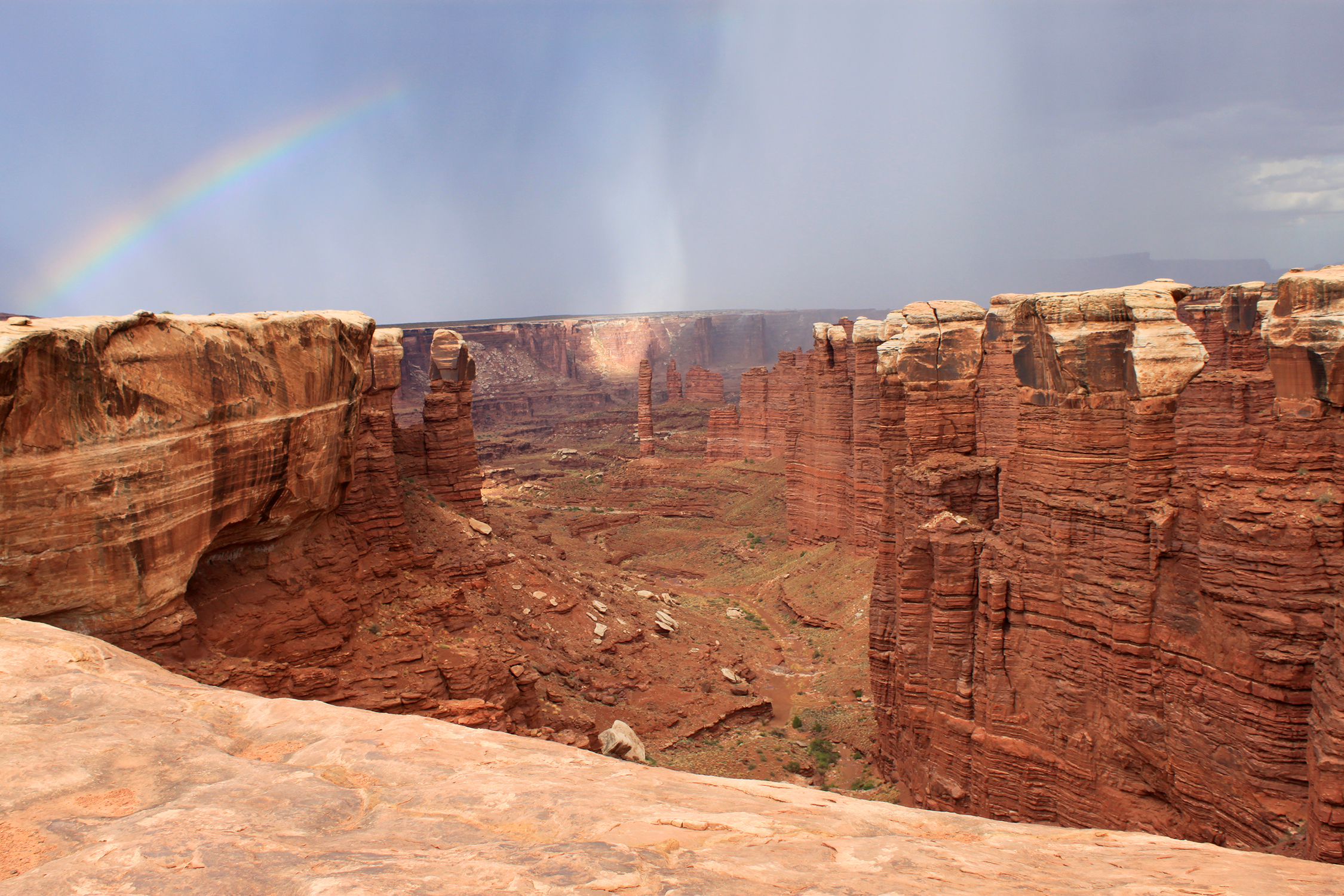
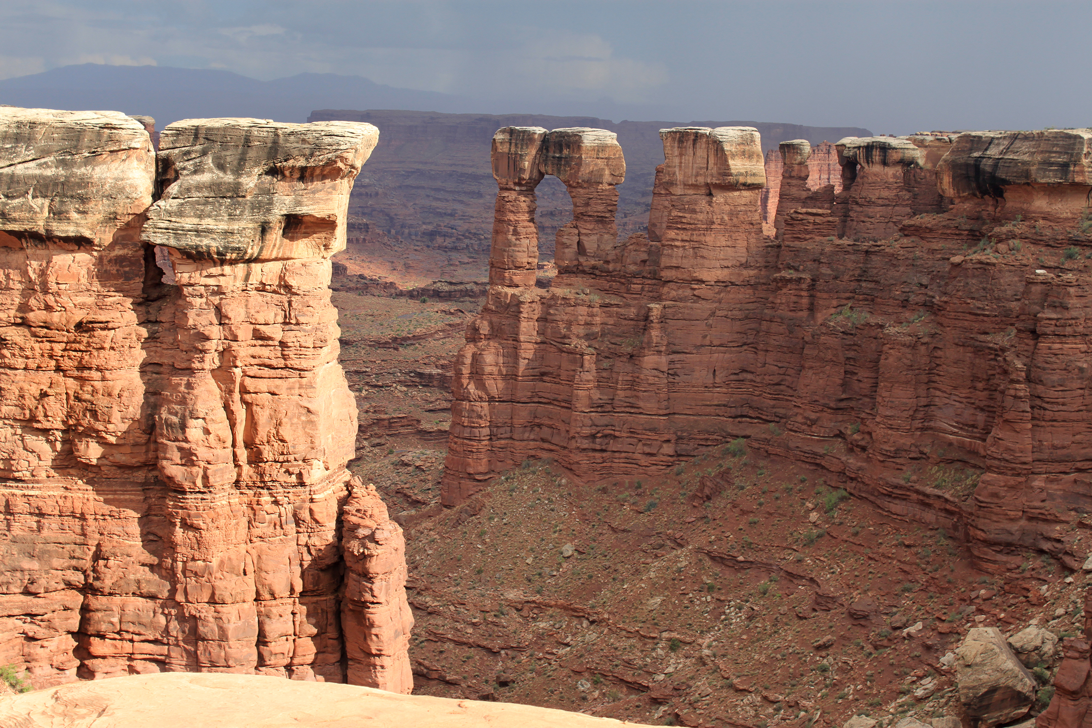
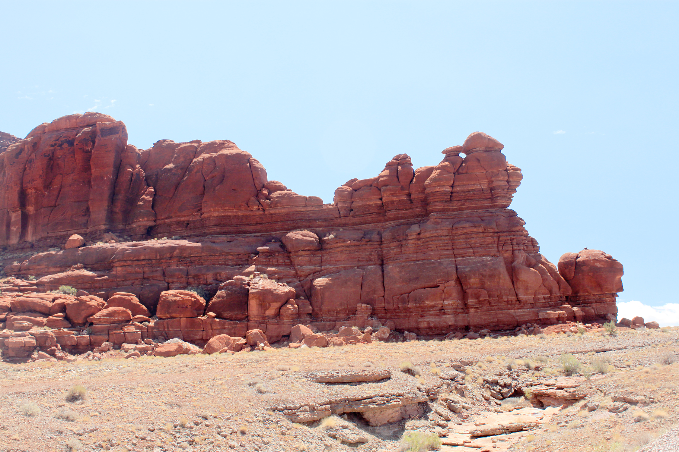
They don't want you to walk across this arch. If you slip or lose your balance chances are very good you won't survive.
Back to page 30 You
are on Page 31 To
page 32 |